by Maurice Huguenin
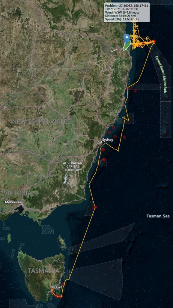
For four weeks in May and June this year, I was fortunate enough to take part in an oceanographic research voyage aboard CSIRO’s RV Investigator from Hobart to Brisbane. The primary goal of this voyage was to recover and re-deploy six moorings from the continental shelf to the abyssal ocean at 27°S near Brisbane.
Over the past 18 months, these six moorings recorded data on the East Australian Current’s (EAC) heat, mass and freshwater transport. The EAC has a big impact on Australia’s eastern coastline as it brings warm waters from the tropics south, which affects rainfall far inland.
Now it was time to recover the old mooring instruments and deploy a set of new ones.
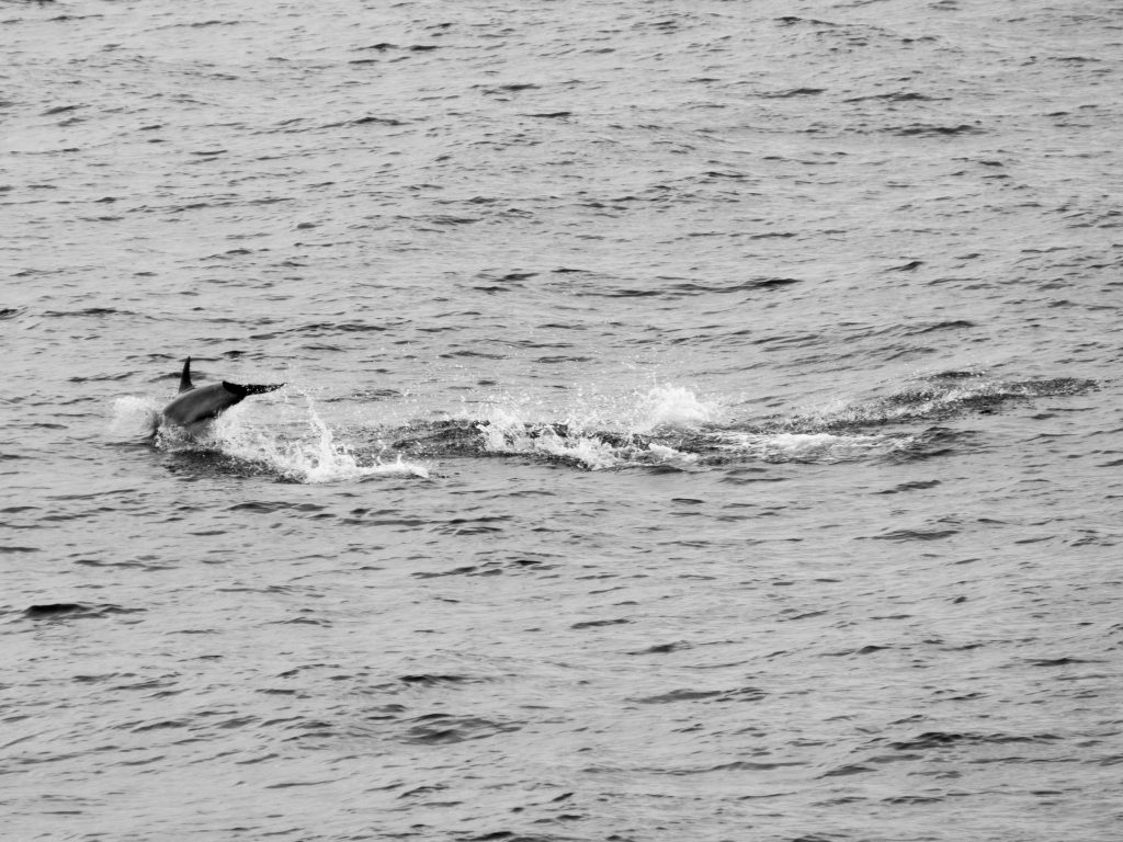
Joining the physical oceanography team onboard were biological scientists that investigated changes in the larval fish population in the EAC region. Together, we were 29 scientists from six institutions and 20 crew members. On May 7, after a short journey up the Derwent River to refuel the ship, it was finally time to depart Hobart. While exiting Storm Bay, we were greeted by Bottlenose Dolphins surfing the bow waves – a good sign according to old sailor superstitions. Taking pictures of the dolphins was not easy as both the ship and the animals kept moving at a fast speed.
After we rounded Tasman Island, it was getting dark and I decided to head back inside. Wrong decision! I started to get seasick despite the tablets I took earlier. Lying down was helpful and allowed me to do a bit of research on seasickness. One of the tips was to stand up as much as possible so that the brain could adapt to the different condition. Over the next few hours, I did that despite getting nauseous. Fortunately, seasickness only affected me during the first day or two, and after that, I got my ‘sea legs’.
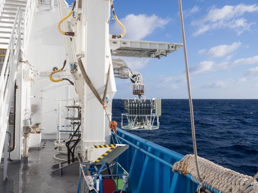
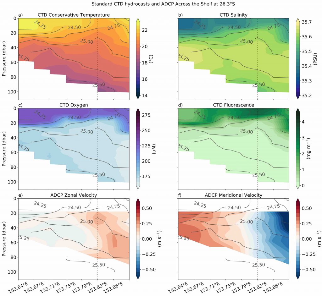
After rounding Tasmania’s corner, we headed straight north to Maria Island, a national reference station. There, we did our first CTD cast of the voyage. CTD stands for conductivity, temperature and depth, and describes the instrument we sent overboard to measure seawater properties throughout a vertical water column. On the way up again to the surface, we filled 18 water tanks on the CTD frame at specific depths. The water mass properties in these bottles then helped us calibrate the instruments for the next cast.
The downtime during these first few days before we arrived at the mooring sites further north allowed me to set up a few simulations for my PhD work, watch Pirates of the Caribbean on the big screen and start reading the book I brought to this journey. I decided to read Rob Mundle’s book on Matthew Flinders. Flinders was the first explorer to circumnavigate the Australian continent on his trusty ship, you guessed it, the Investigator. Thankfully, the ship I was on did not leak up to 25 cm of water every hour as did Flinders’ on his last leg up the coast back into Sydney in 1802.
Besides deploying the 1000th Australian Argo float, one of the scientific highlights on the steam north was the cold core eddy we discovered. This is a giant oceanic whirlpool that brings cold, fresh and nutrient-rich waters to the surface and is a nursery ground for many offshore larval fish. We were lucky enough to steam right through the centre of this eddy and collect valuable scientific data.
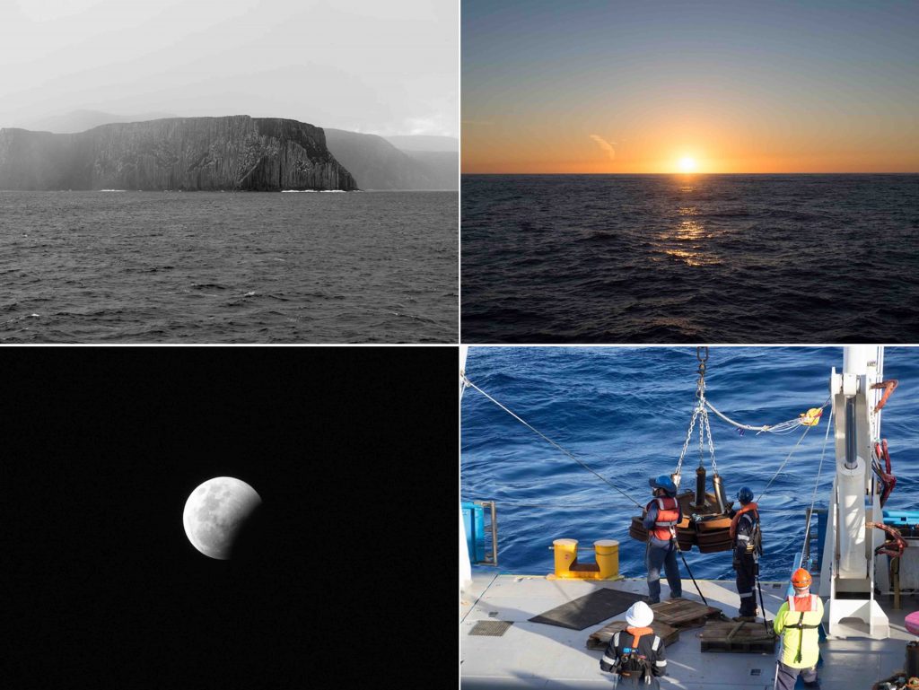
Before I knew it, we were already near Brisbane, and it was time to recover the six deep-sea moorings. The first one was 4750 m, and it took all day. First, the old mooring was released from the anchor near the seafloor and then we had to spot the instruments and floats with binoculars from the bridge. Some of the mooring instruments were tangled up in fishing gear and some instruments were even missing because they were ripped off by a fishing line.
The instruments in the upper 200 m were usually covered in algae, barnacles and other nasty and smelly stuff. All these things had to come off first. Thankfully, we had a pressure hose on board that helped clean the instruments before we then downloaded the data. For each mooring, we did a number of CTD casts to calibrate the recovered and the new instruments that we deployed.
All in all, this past month has been an awesome experience for me, even more so because my PhD project is computational without fieldwork. In the near future, I hope to go back to the sea and have already set my eyes on a new horizon: Antarctica.
I thank the CSIRO and MNF teams as well as my PhD supervisors who made all of this possible, despite the many COVID-related uncertainties.
References
- Seasickness and science: Are your ‘sea legs’ in your brain or your muscles? ABC science article by Anna Salleh, 11. January 2017, https://www.abc.net.au/news/science/2017-01-11/why-do-we-get-seasick-and-how-do-we-get-sea-legs/8134890.
- Rob Mundle, Flinders – The Man Who Mapped Australia. Published: 29th November 2016, ISBN: 9780733637384.